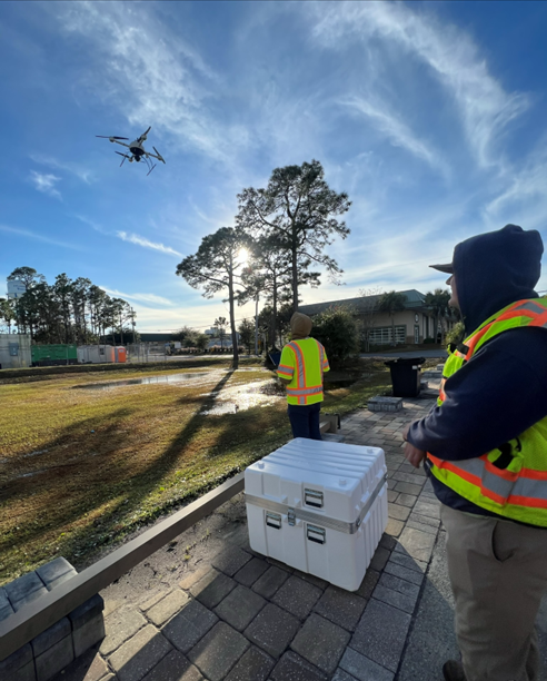
Our Services
![]()
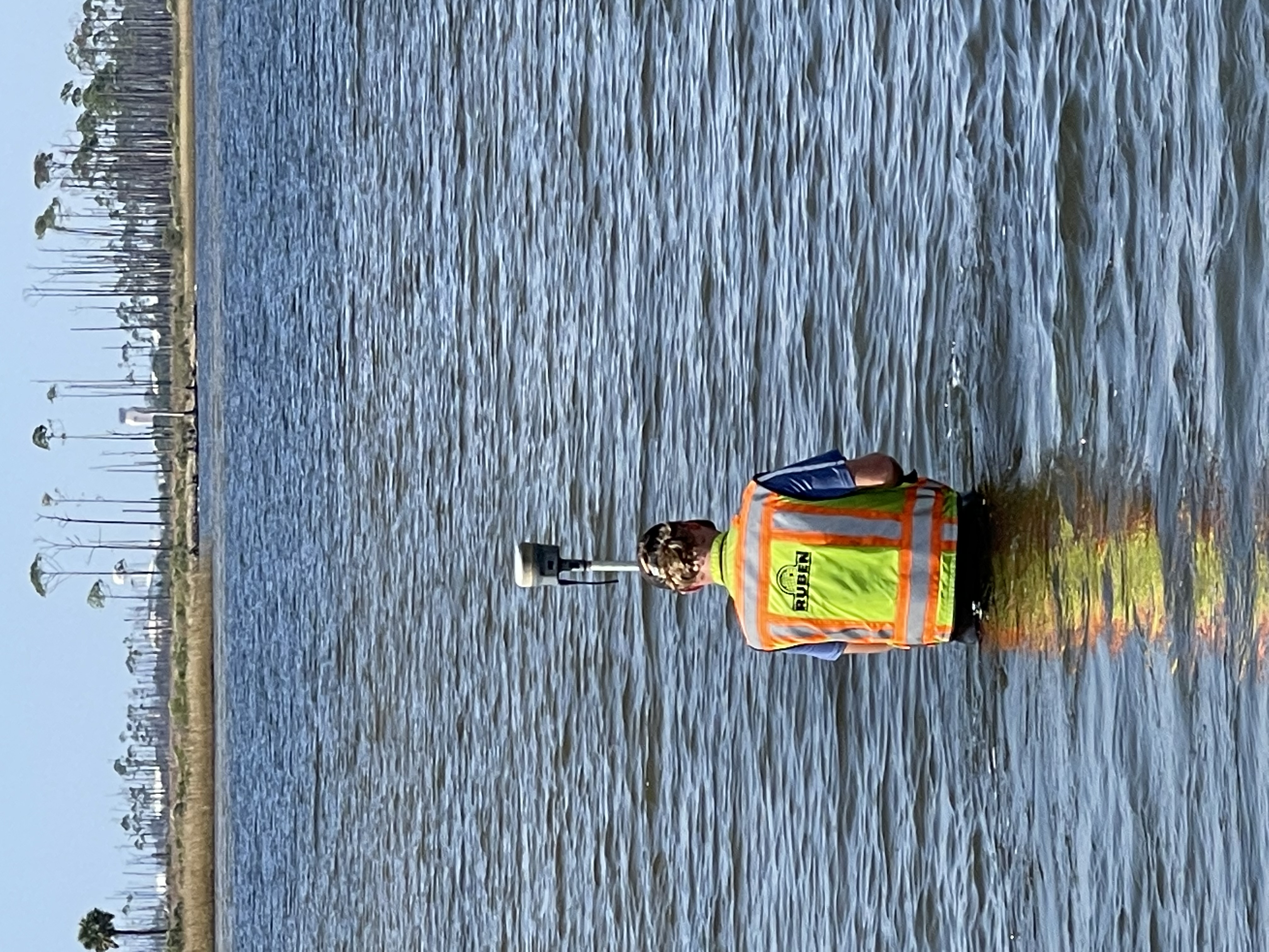
BOUNDARY SURVEY
Real estate transactions
Property lines
Neighbor encroachments
![]()
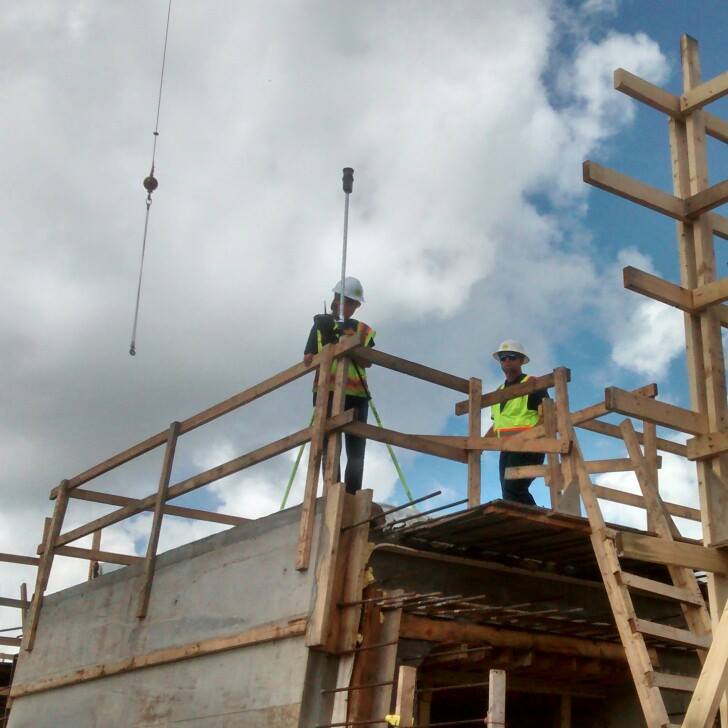
CONSTRUCTION LAYOUT SURVEY
Pools
Fences
Roads
Pilings
![]()
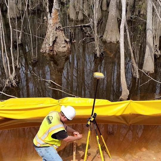
ALTA SURVEY
Combines data from property records with onsite surveying measurements to fulfill the needs of title companies or insurers.
To include Table A requirements as needed.
![]()
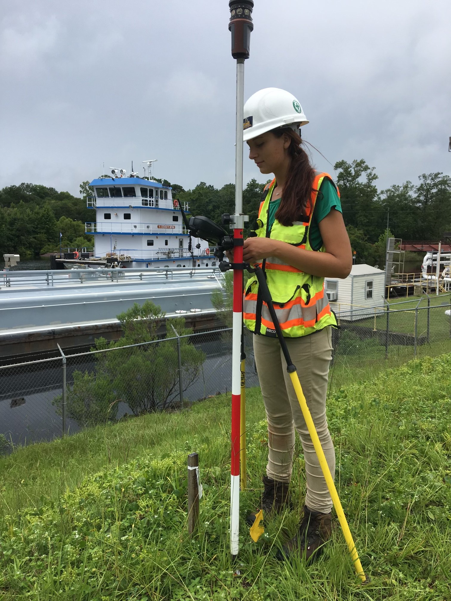
ELEVATION CERTIFICATE
Pre-construction with construction drawings
Under construction
Finished construction
![]()
FOUNDATION SURVEY
Required for any building project that needs a foundation of at least 100 square feet, this survey shows the finished floor elevation of the lowest slab, the crown of the nearest road, and all setbacks.